Petratis Gorge - Part 1
Route Map
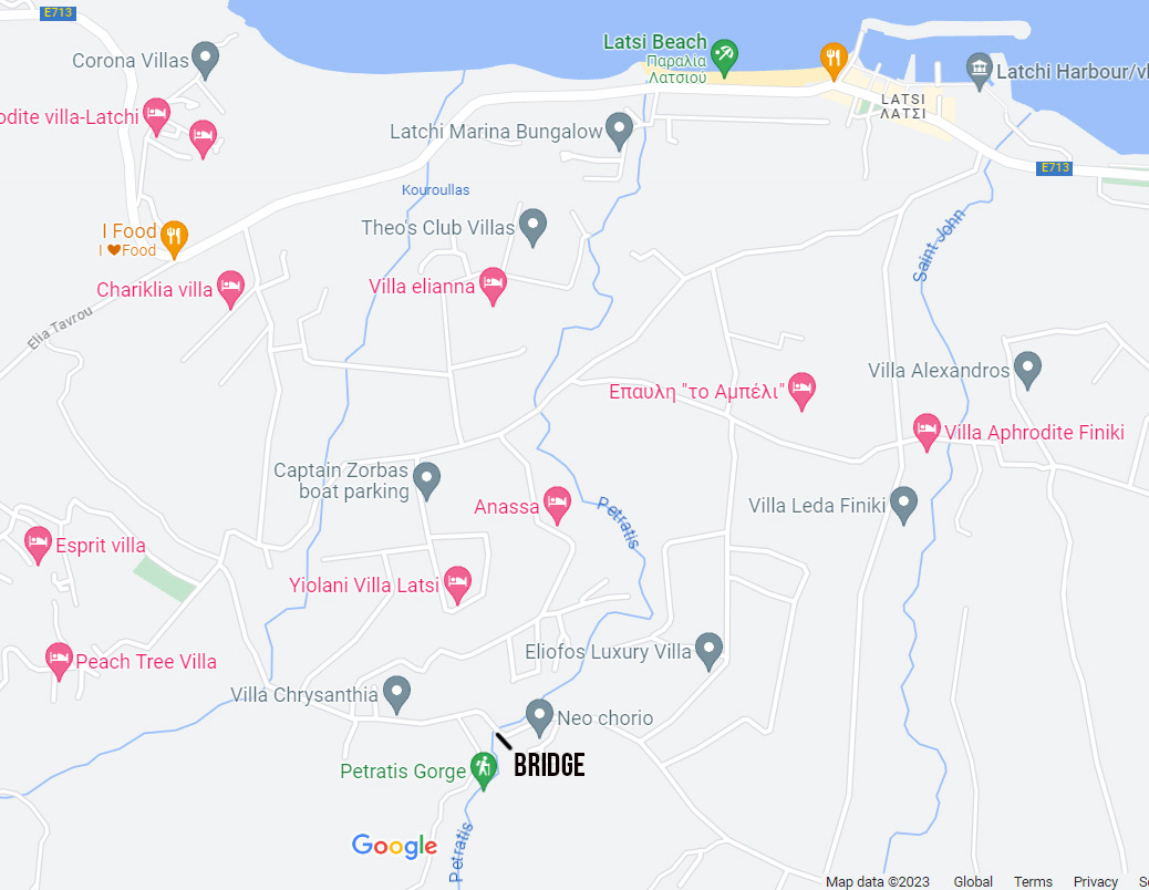
So, where to begin? The picture we saw in the Geology Centre looked very promising. I was just puzzled as to where it might be. However, a quick search on Google Maps revealed its location. It was surprisingly close to Latchi. What's more, the river that runs through it enters the sea at the end of the beach carpark.

View From The Top
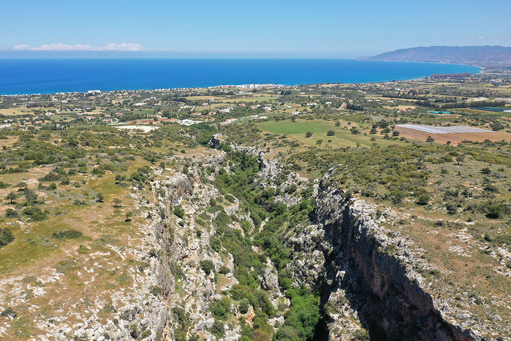
In fact, you can see Latchi in this drone shot of the gorge. My first port of call was to drive to the bridge and check that area out. I flew the drone while I was there. It is a very handy way of checking out potential areas to explore.
Getting The Lie Of The Land
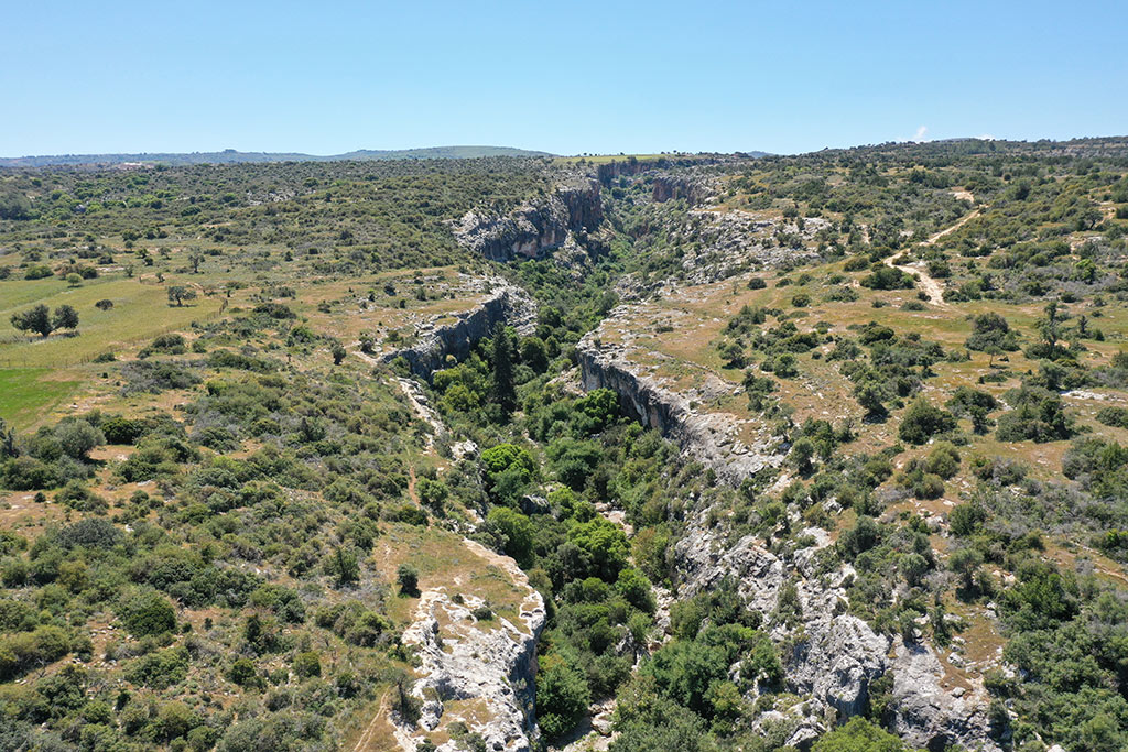
This is the main body of the gorge.
Gorge Floor
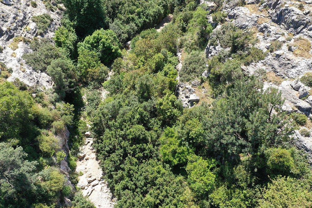
The drone is very handy when it comes to working out a possible route. From this shot you can see that most of the base of the gorge is overgrown, but the path of the river creates a potential route that could be walked along.
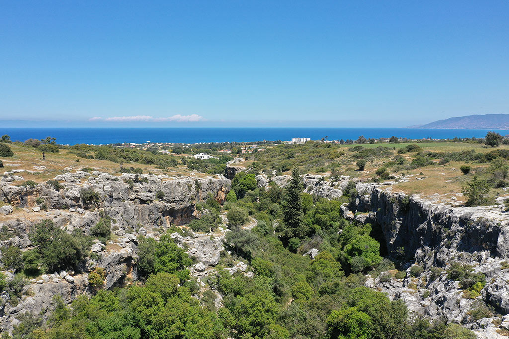
You have to be careful though, as you can't really determine the state of any route from the drone. While it looks like there are close-cropped grass fields at the top, when you get there you will find them covered with thorns and brambles. So if you attempt to follow in my footsteps, decent walking boots are highly recommended.
Page 2 of 7


Related Blogs:
Good Pages To Visit

FB PagePaphos Life on Facebook
Like us on Facebook and stay notified of new blog posts.

FB PageOur Facebook Chat Group
Paphos Chat has been created for people who like our site and want to chat using Facebook. You can also easily upload photos of any size here. A lot of people are members of the Facebook chat group and the main forum. It's entirely up to you.

ListBlog Locations
Planning a day out? Then use our map of blog locations as a handy guide. Some of the places we visit our closer to each other than you might think, so take a look and start planning your next adventure...
eBookCyprus Road Trip 01: the Kathikas - Panagia Loop
Let me take you on a journey around the region of Paphos, Cyprus. Starting at Paphos itself, we travel to Akoursos, then Kathikas, Kritou Terra and Simou. We continue past Lasa and Kannaviou, before taking in the delights of Panagia. Getting a bit more adventurous, we visit the abandoned villages of Statos and Agios Fotios, before passing through Choulou, Letymbou and Polemi, and rejoining the main Paphos - Polis road.
The route is suitable for all types of vehicle, and requires no off-roading. The guide contains about 130 photographs including shots of all the road signs you need to pay attention to, as well as some of the highlights you may experience along the way.
There are also several maps which will help you keep your bearings.
You can do this journey in a day, or you can break it up into chunks. You can also do it in reverse, to get some completely different views. It is entirely up to you.
