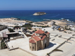
From Ineia To Lara Bay
The Route From Above
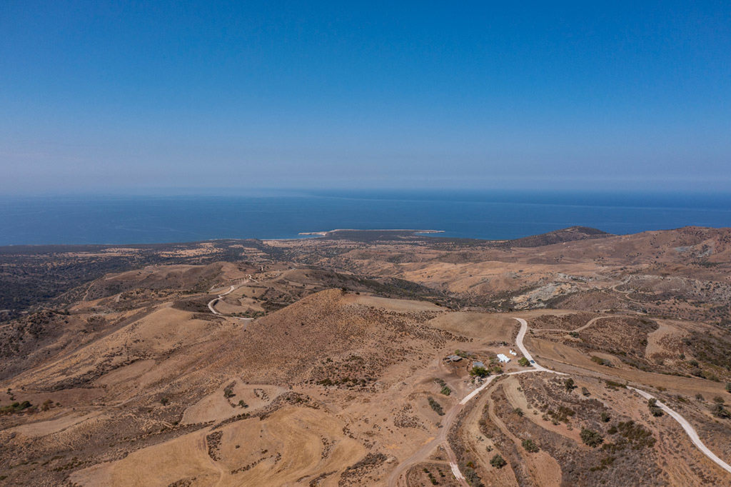
In the first drone shot, you can see pretty much the route we took. The road heads down to the coast. In the centre of the picture you can see two bays. Lara Bay is on the right. But what is the countryside on the way down like?

Rocky Outcrops
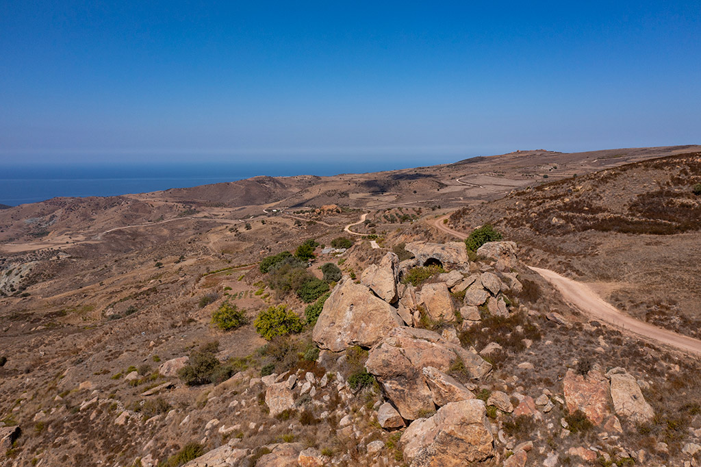
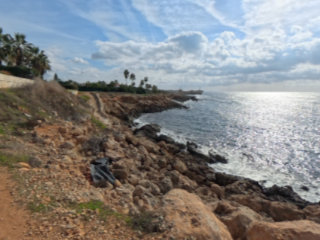
We stopped three times on the way down, to fly the drone. We couldn't film right at the top as there is an army base nearby and drones aren't allowed, for obvious reasons. So we headed to a rocky area popular with climbers.
Nice View
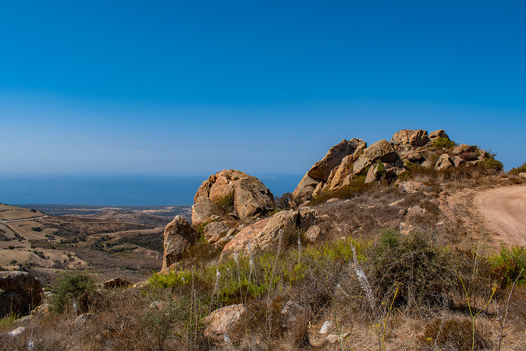
This was actually a slight diversion from the main route, but I needed to come here to turn round to allow me back.
Towards Ineia
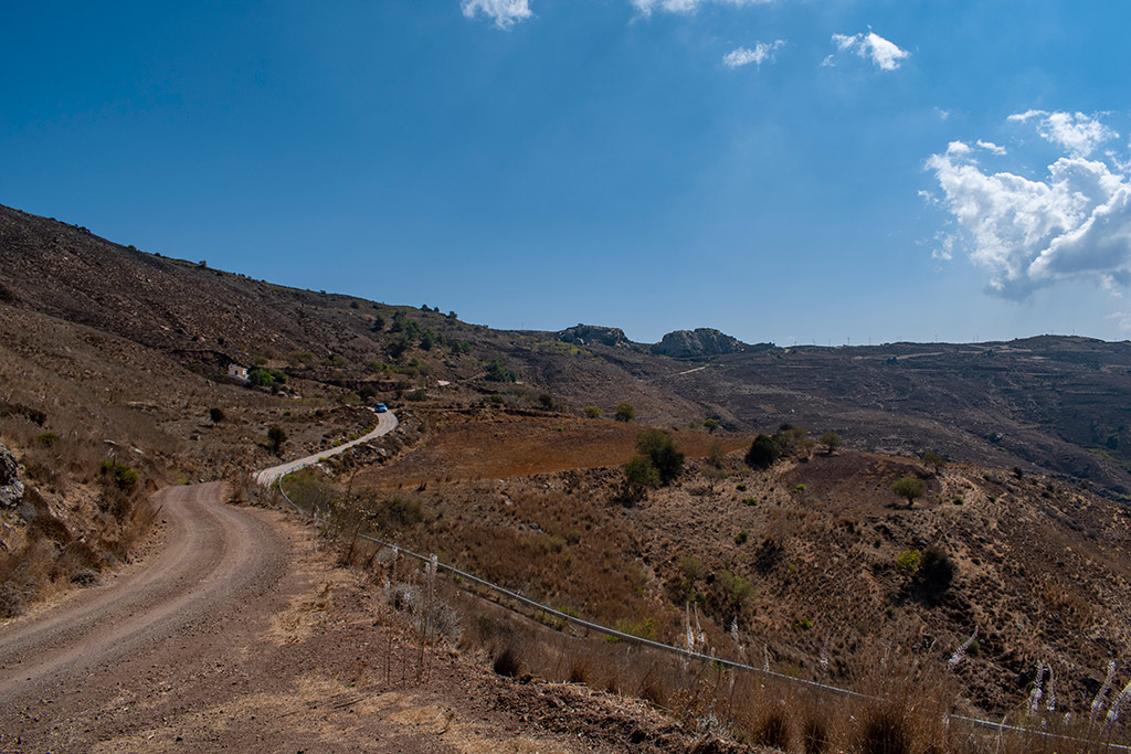
This is the easiest route to Lara Bay. I don't mean the dirt track I am on, but the concrete road the blue car is travelling down. There are still plenty of potholes to avoid, but it is easier going than the drive along the coast from Peyia.
The Route From The Land
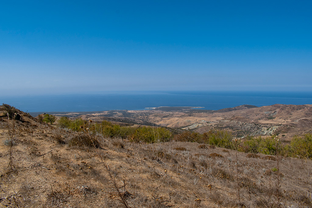
In a few weeks, this will be a sea of green!
Page 2 of 4


Related Blogs:
Good Pages To Visit

FB PagePaphos Life on Facebook
Like us on Facebook and stay notified of new blog posts.

FB PageOur Facebook Chat Group
Paphos Chat has been created for people who like our site and want to chat using Facebook. You can also easily upload photos of any size here. A lot of people are members of the Facebook chat group and the main forum. It's entirely up to you.

ListBlog Locations
Planning a day out? Then use our map of blog locations as a handy guide. Some of the places we visit our closer to each other than you might think, so take a look and start planning your next adventure...
eBookCyprus Road Trip 01: the Kathikas - Panagia Loop
Let me take you on a journey around the region of Paphos, Cyprus. Starting at Paphos itself, we travel to Akoursos, then Kathikas, Kritou Terra and Simou. We continue past Lasa and Kannaviou, before taking in the delights of Panagia. Getting a bit more adventurous, we visit the abandoned villages of Statos and Agios Fotios, before passing through Choulou, Letymbou and Polemi, and rejoining the main Paphos - Polis road.
The route is suitable for all types of vehicle, and requires no off-roading. The guide contains about 130 photographs including shots of all the road signs you need to pay attention to, as well as some of the highlights you may experience along the way.
There are also several maps which will help you keep your bearings.
You can do this journey in a day, or you can break it up into chunks. You can also do it in reverse, to get some completely different views. It is entirely up to you.
