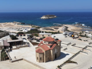
Episkopi Heights
Garage Cover
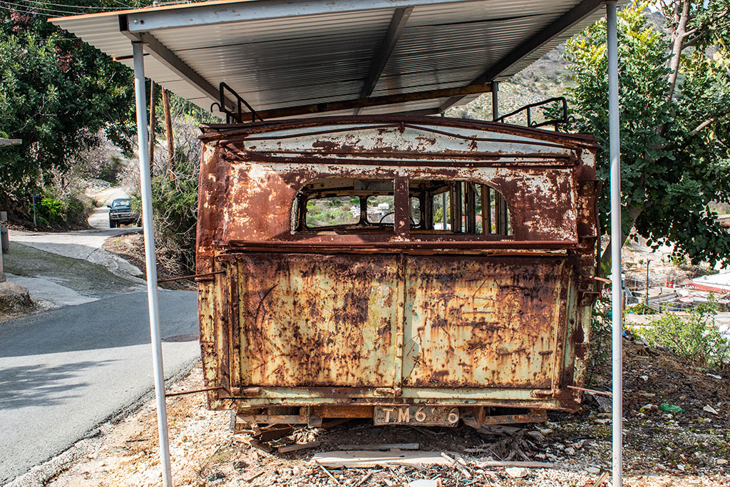
If you remember from our last blog, we tried to drive across the Ezousa Valley a bit further up, but had to abort the attempt because of mud. Had we driven across, we would have turned left and taken a track that eventually leads to Kallepeia. I mention this now, because along that track, at a junction at the foot of a cliff, there is an old, dilapidated bus stop. I am guessing this bus used to make the journey between here and Kallepeia. I wonder when it was last in service?

Front View
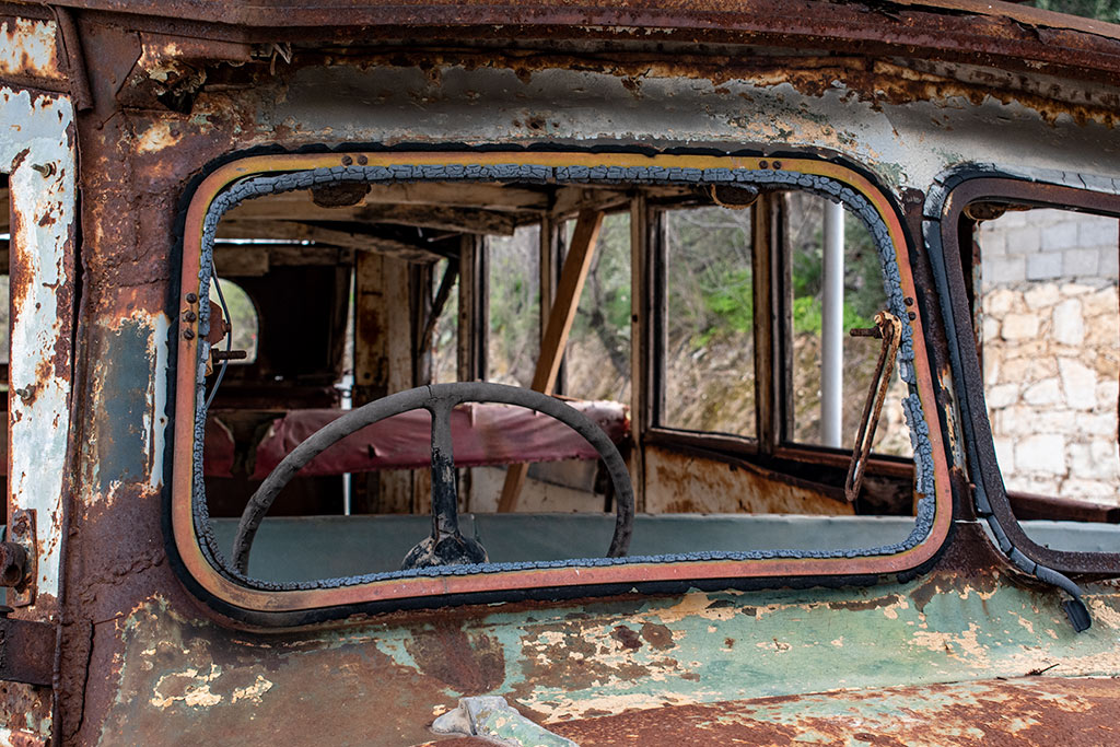
That bus stop has always puzzled me. What was it there for? There aren't any houses, or anything, nearby. It runs above a small gorge and is literally in the middle of nowhere. There is a nearby water source, so perhaps it was a handy drop-off point for labourers? Who knows...
Going Nowhere
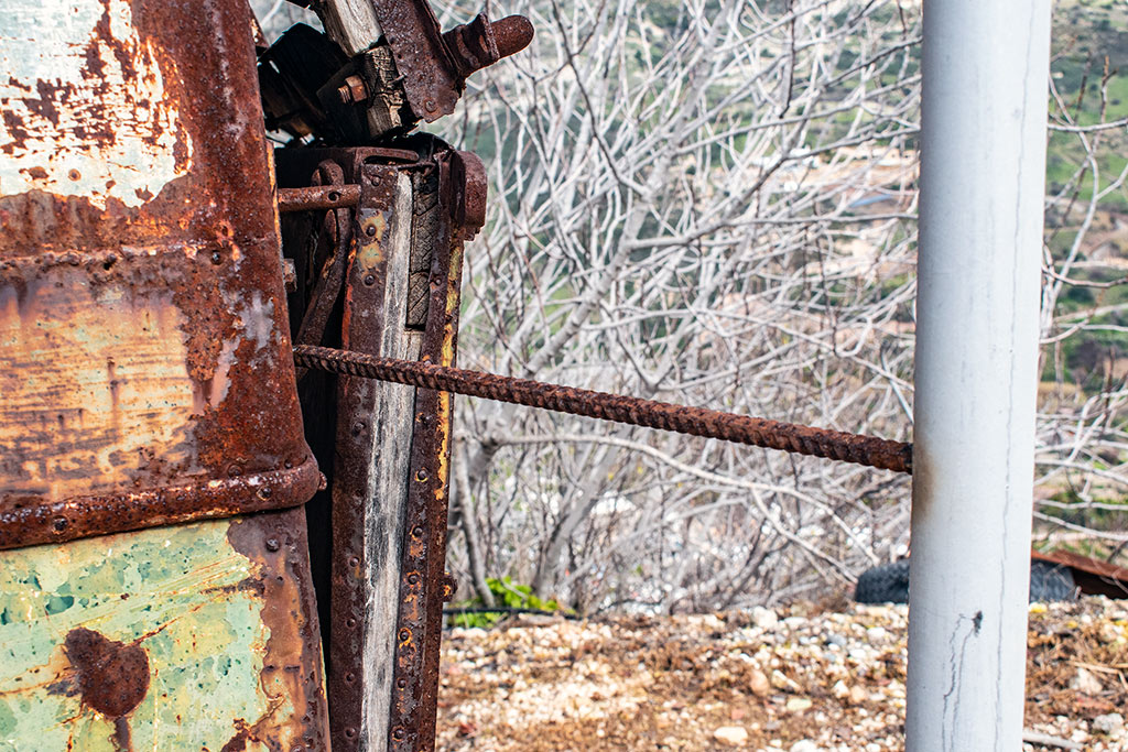
It is worth noting that the bus is going nowhere now. It is firmly fixed to the framework that encases it. As you can see, rebar has been used to make sure it doesn't get towed away in the night. There was a similar joint on all the other poles too.
Distant Guard Dogs
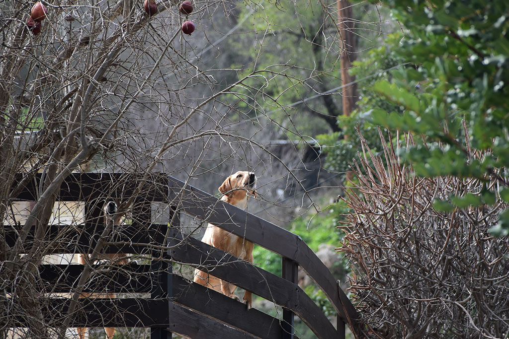
Aside from the bus and the pooch, the only other signs of life came from a couple of other dogs guarding the house above us.
Episkopi View
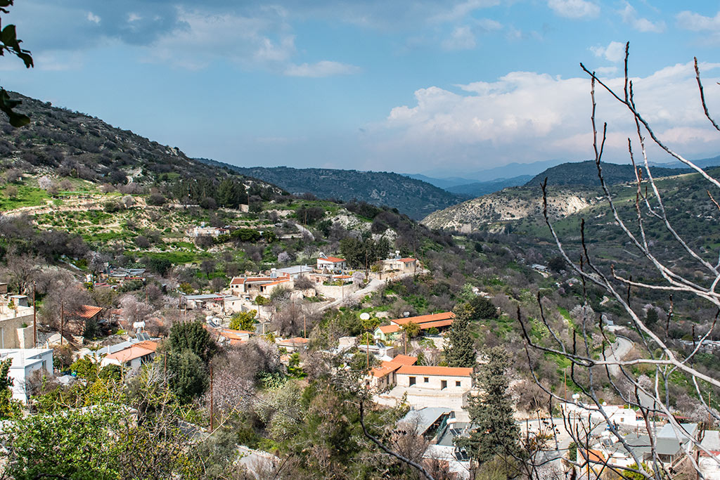
I shall leave you with this view of the village. Actually this does beg the question, how on Earth could a bus make its way through the tiny roads here? There must have been a specific route which was wide enough for it. I am guessing that its route would have taken it past where we found the mud. I say that because beyond that, and an old abandoned water mill, is a big green sign saying "Welcome to Kallepeia". So at some point there was a decent transport route down there.
I remember the first time we visited the area. I drove through Episkopi and into the valley. For some reason the road to Nata wasn't open, so we headed upstream. We found the old playground and picnic spot. But beyond that, there wasn't much else. I remember the road ran to the river but ended there. A few years later when we returned, there was an established track running to the other side. Since then, that track has been moved.
I never cease to be amazed at how quickly Cypriots can make tracks to get them from A to B. Road blocked because of landslide? No problem, make another one above or below the original. Of course, it can play havoc with your memories, but that is all part of the charm of living in Cyprus.
Page 2 of 2


Related Blogs:
Good Pages To Visit

FB PagePaphos Life on Facebook
Like us on Facebook and stay notified of new blog posts.

FB PageOur Facebook Chat Group
Paphos Chat has been created for people who like our site and want to chat using Facebook. You can also easily upload photos of any size here. A lot of people are members of the Facebook chat group and the main forum. It's entirely up to you.

ListBlog Locations
Planning a day out? Then use our map of blog locations as a handy guide. Some of the places we visit our closer to each other than you might think, so take a look and start planning your next adventure...
eBookCyprus Road Trip 01: the Kathikas - Panagia Loop
Let me take you on a journey around the region of Paphos, Cyprus. Starting at Paphos itself, we travel to Akoursos, then Kathikas, Kritou Terra and Simou. We continue past Lasa and Kannaviou, before taking in the delights of Panagia. Getting a bit more adventurous, we visit the abandoned villages of Statos and Agios Fotios, before passing through Choulou, Letymbou and Polemi, and rejoining the main Paphos - Polis road.
The route is suitable for all types of vehicle, and requires no off-roading. The guide contains about 130 photographs including shots of all the road signs you need to pay attention to, as well as some of the highlights you may experience along the way.
There are also several maps which will help you keep your bearings.
You can do this journey in a day, or you can break it up into chunks. You can also do it in reverse, to get some completely different views. It is entirely up to you.
