Topographical Maps Of Cyprus - Review
Recently we saw an advert for a new book of Cyprus Maps on Facebook, which perked our interest. We contacted the publisher and they kindly sent us a review copy. We've spent a few weeks scrutinising it, and here are our findings.
Topographical Maps of Cyprus
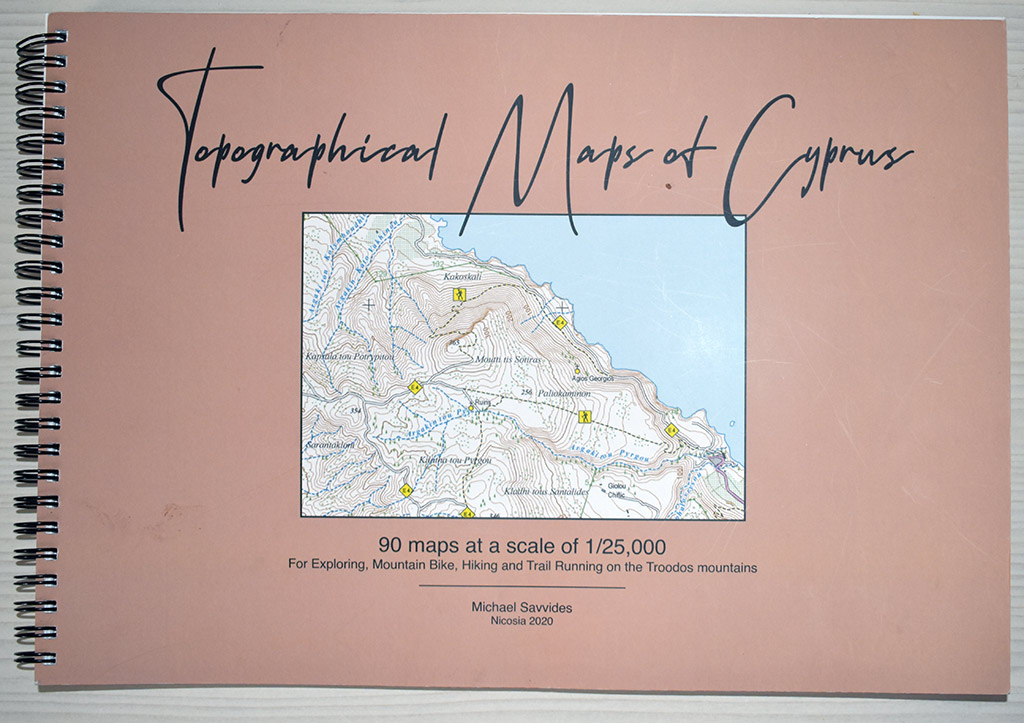
Ok, so let's put the map through its paces. When we first started holidaying in Cyprus, we would buy a map every year, because they would fall apart through continued use.
The first thing to note about this book is that it is ring bound. This makes studying maps much easier. Secondly, the maps are a very high scale.
Areas Covered
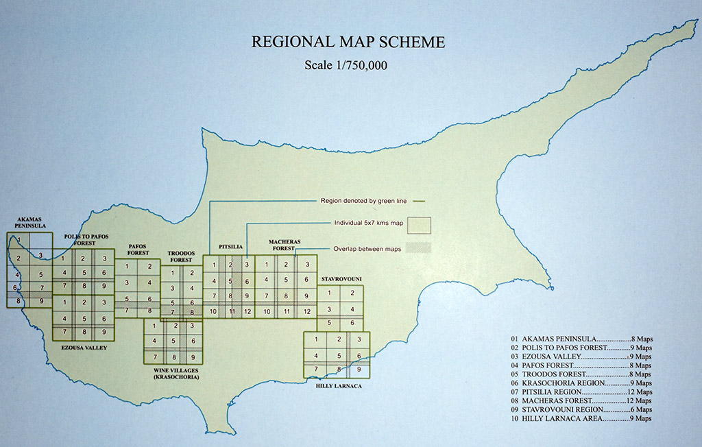
It is worth noting that the maps don't cover the whole of Cyprus. Instead they focus on the more outdoor areas. It would have been nice to see them cover everywhere, but given how long they must take to produce I can understand the logic for choosing the areas they did.
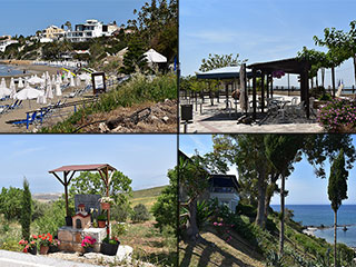
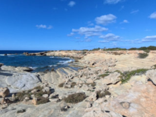
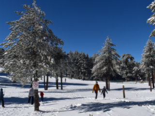
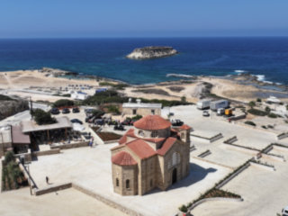
Typical Scenery
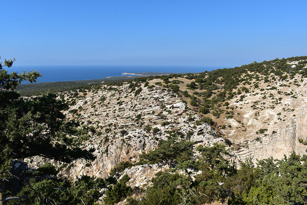
This review will feature a number of pictures of maps. However, to review a map thoroughly we had to check out various locations, so we will also show pictures of them, to show you why you might want to use it.
The E4 Trail
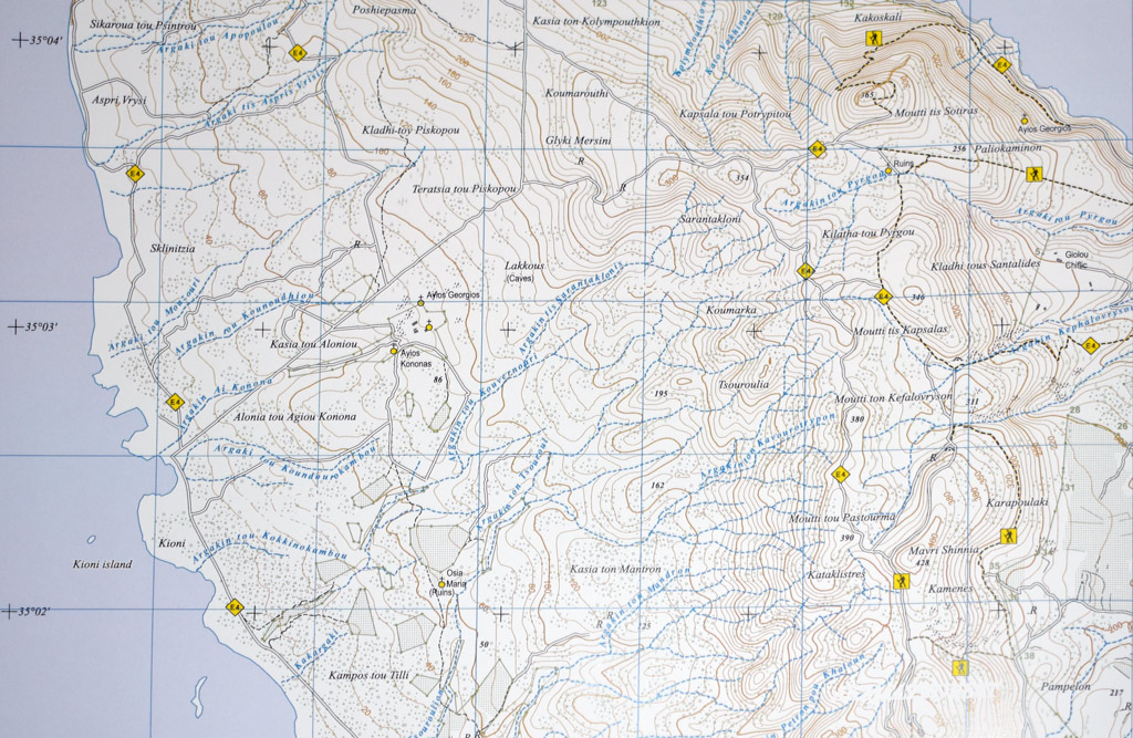
One selling point of this map book was that it showed the course of the E4 trail. You can see that here. It goes up on the left, and back down on the right. However, it isn't that clear where the trail actually runs. Looking at the right-hand side of the map, if you asked five people to draw the route of the E4 on the map, based on the labels, you would likely get five different lines.
It would be nice if the next edition of this map had the E4 trail marked more clearly.
Google Map Comparison
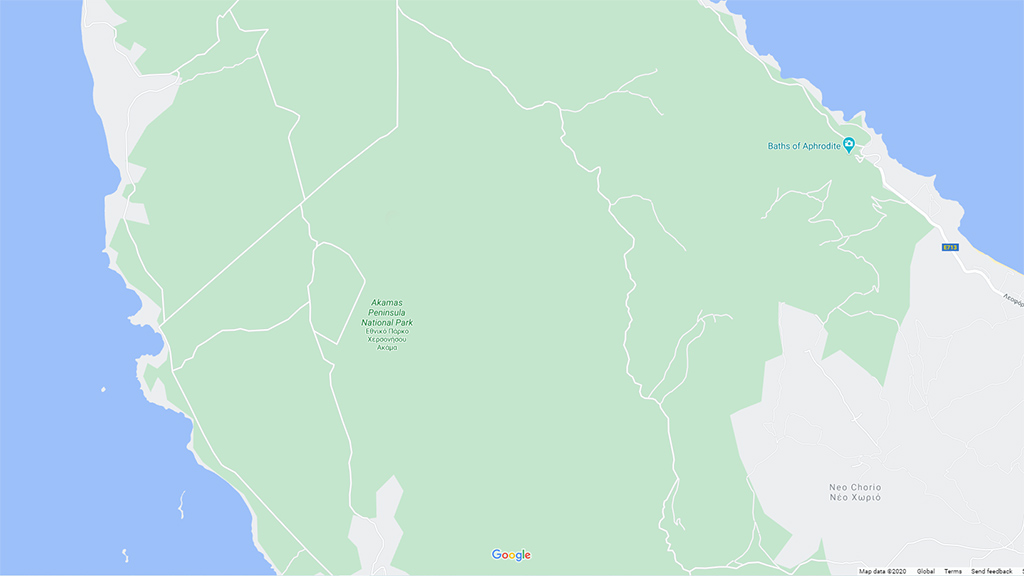
The map in the last picture is typical of what you will find in the book. Compare it to the equivalent view from Google Maps. It is in a different league.
Page 1 of 4

Related Blogs:
Good Pages To Visit

FB PagePaphos Life on Facebook
Like us on Facebook and stay notified of new blog posts.

FB PageOur Facebook Chat Group
Paphos Chat has been created for people who like our site and want to chat using Facebook. You can also easily upload photos of any size here. A lot of people are members of the Facebook chat group and the main forum. It's entirely up to you.
ListBlog Locations
Planning a day out? Then use our map of blog locations as a handy guide. Some of the places we visit our closer to each other than you might think, so take a look and start planning your next adventure...
eBookCyprus Road Trip 01: the Kathikas - Panagia Loop
Let me take you on a journey around the region of Paphos, Cyprus. Starting at Paphos itself, we travel to Akoursos, then Kathikas, Kritou Terra and Simou. We continue past Lasa and Kannaviou, before taking in the delights of Panagia. Getting a bit more adventurous, we visit the abandoned villages of Statos and Agios Fotios, before passing through Choulou, Letymbou and Polemi, and rejoining the main Paphos - Polis road.
The route is suitable for all types of vehicle, and requires no off-roading. The guide contains about 130 photographs including shots of all the road signs you need to pay attention to, as well as some of the highlights you may experience along the way.
There are also several maps which will help you keep your bearings.
You can do this journey in a day, or you can break it up into chunks. You can also do it in reverse, to get some completely different views. It is entirely up to you.
