The Abandoned Paphos Karting Centre
December 2002
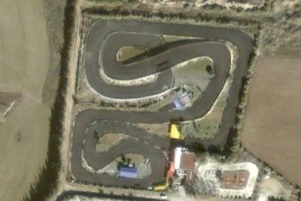
While researching Gergoskipou Aerodrome (and if you know anything about that, please let me know) I found that Google Earth allows you to see historical satellite images of areas, assuming any were taken. Our first view shows what the track looked like way back in 2002. Nearly 25 years ago, it looked very impressive.

May 2024
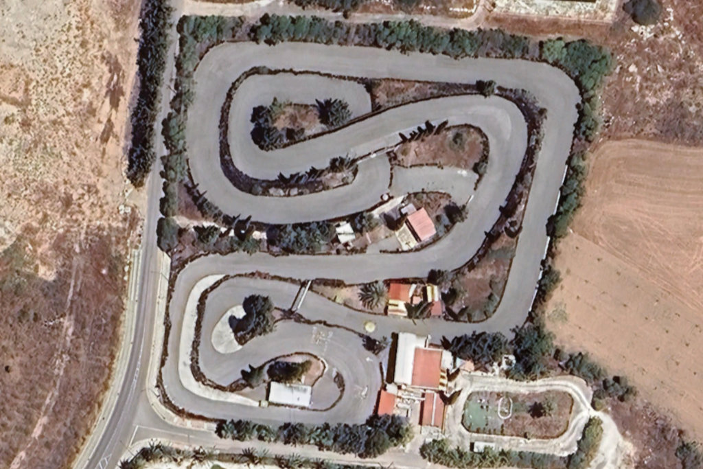
Moving forward to May 2024, and the site looks even better. This could of course be down to improved cameras in the satellite.
One thing that did surprise me about this recent visit was how big the track actually was. When I saw it a few years ago I thought that it was a lot smaller as I could only see the bottom left corner.
September 2024
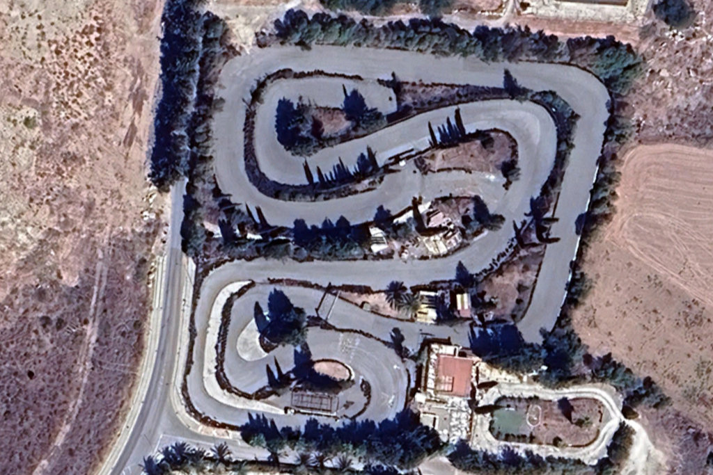
In September of 2024 it looks ok, but one of the buildings towards the bottom of the picture appears to have been demolished.
March 2025
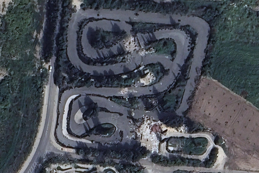
In March 2025, the decline was complete. All the buildings have been demolished, and the bridge has been destroyed.
Former Glory
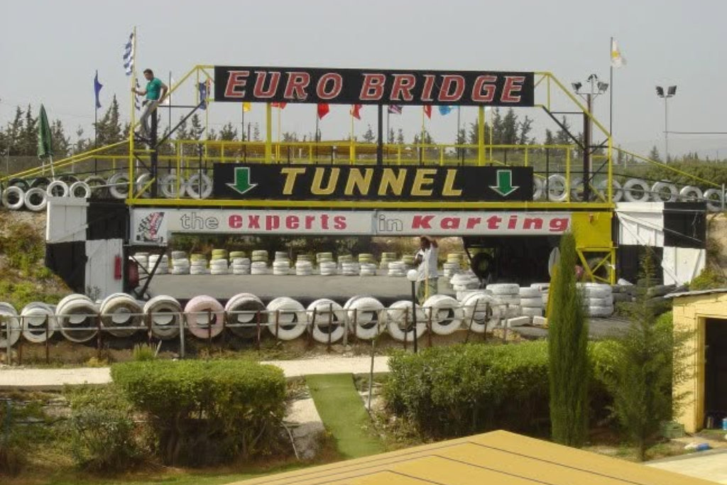
This is what the bridge used to look like, and you have to admit it is very impressive. Or was.
I got this picture from the Paphos Karting Centre. Interestingly, I checked the domain information and it was renewed in 2026.
Page 2 of 5
Related Blogs:

Return To Amiantos Hospital
Amiantos Hospital was abandoned in the Eighties, when the nearby mine closed down. along with the nearby village of Pano Amiantos. Now it is slowly being reclaimed by nature while at the same time being used as a sketchpad by the local graffiti artists. If you want some easy-access Urban Exploring in an amazin location, it is a good place to head for.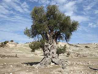
Is this the Oldest Olive Tree in Cyprus?
We were out exploring in the Akamas the other day, and we came across this lovely old Olive Tree. I can't help wondering how long it has stood here...Related Pages

MapThe Abandoned Paphos Karting Centre
I have been exploring the wilds of Geroskipou recently and noticed that the Karting Track next to the Crazy Golf Centre was looking a bit sorry for itself. So I thought a closer look was required...
Good Pages To Visit

FB PagePaphos Life on Facebook
Like us on Facebook and stay notified of new blog posts.

FB PageOur Facebook Chat Group
Paphos Chat has been created for people who like our site and want to chat using Facebook. You can also easily upload photos of any size here. A lot of people are members of the Facebook chat group and the main forum. It's entirely up to you.

ListBlog Locations
Planning a day out? Then use our map of blog locations as a handy guide. Some of the places we visit our closer to each other than you might think, so take a look and start planning your next adventure...
eBookCyprus Road Trip 01: the Kathikas - Panagia Loop
Let me take you on a journey around the region of Paphos, Cyprus. Starting at Paphos itself, we travel to Akoursos, then Kathikas, Kritou Terra and Simou. We continue past Lasa and Kannaviou, before taking in the delights of Panagia. Getting a bit more adventurous, we visit the abandoned villages of Statos and Agios Fotios, before passing through Choulou, Letymbou and Polemi, and rejoining the main Paphos - Polis road.
The route is suitable for all types of vehicle, and requires no off-roading. The guide contains about 130 photographs including shots of all the road signs you need to pay attention to, as well as some of the highlights you may experience along the way.
There are also several maps which will help you keep your bearings.
You can do this journey in a day, or you can break it up into chunks. You can also do it in reverse, to get some completely different views. It is entirely up to you.